Beautiful Lake Tahoe
Photography World Article & Photography by Doug Oglesby
Edited by Mina Thevenin
Published October 2015
Exploration parties led by Captain John Fremont and his guide Kit Carson became the first Americans of European descent to discover Beautiful Lake Tahoe in 1844. On that journey Fremont’s team was caught by a winter storm in the Sierra Nevadas on their way west into California. Low on provisions, they nearly had the same fate as the infamous Donner party. According to Carson’s autobiography, Carson led the team out but not before they had to resort to eating their mules (and the mules were forced to feed on their tails, leather saddles and whatever else they could get to). After narrowly escaping, Carson said the team was “in as poor a condition as men could possibly be.” Carson believed one man went insane from the ordeal.(1) The Donner party was not as fortunate, of course. They lost almost half their group during the winter of 1846-1847 and resorted to cannibalism to survive. “Donner Pass, in the Sierra Nevada of northern California, is named for the Donner party. The pass now represents the most important transmontane route (rail and highway) connecting San Francisco with Reno. It lies within Tahoe National Forest, and Donner Memorial State Park is nearby.”(2)
Pioneers, the men and women who made the trip west, were remarkable people. The trail west was filled with real and perceived dangers. There weren’t hotels to stay at or big green road signs showing the way! The trail was not clearly marked. Many mountain passes were extremely steep, narrow, and difficult for wagons to cross. Watering holes were not clearly defined. Travelers were fearful of Indian attacks. As a result, people traveled in large parties to provide assistance and protection from the dangers. Strength in numbers.
Fun fact: the nickname for cigar – the stogie – was derived from the Conestoga wagon, a common site on the trail west. The Conestoga was mostly used to move tobacco around the original Eastern states. This tobacco was used to make cigars and the term “stogie” was born.(3)
westward travel increased steadily in the late 1840s. Members of my family came west across the Oregon Trail at this time in search of fertile land for farming, and were some of the first to settle in the Oregon Territory. But not all pioneers emigrated to Oregon. Nevada and California were popular locations as well, fueled by the Gold Rush. Many such pop-up Gold boom towns dried up when the gold disappeared and like the Gold Rush town of Bodie, California, 75 miles south-east of Lake Tahoe, they are now just ghost towns.
Captain Fremont led several expeditions west. The purpose of the first expedition in 1842 was to map the Oregon Trail into Wyoming. His work, with Kit Carson as his guide, was published and used by the early pioneers. Fremont’s second expedition west in 1843 was designed to map the rest of the trail to Oregon, and it was this expedition that led them to Lake Tahoe.(4)
CLICK on any image to view photography as a gallery slideshow/scroll mouse over image for photography details & copyright information.
MUCH ADO ABOUT
A NAME…
.
Washoe Indians, indigenous peoples to the area who were a family-focused tribe, inhabited the Lake Tahoe area. Lake Tahoe is reportedly a mispronunciation of the Washoe words “da ow”, the lake. (5) According to the Washoe Tribe of Nevada and California, Washeshu Itdeh – “the people from here”:
“The center of the Wašiw world is Da.aw (Lake Tahoe) both geographically and spiritually.” Like most native peoples our lifestyles revolved around the environment; the people were part of the environment, and everything was provided by the environment.
California settlers named Da.aw, Lake Bigler in 1853, in honor of their 3rd California governor, John Bigler; however he was believed to be a Southern sympathizer during the Civil War, so for years there was a lot of controversy about calling Beautiful Lake Tahoe– Lake Bigler. In 1863 the Nevada Washoe Times and the Sacramento Union News Papers supported the name, “Sierra Lake”, but there was a body of water already with this name (6). So it was frequently referred to it as “Lake Tahoe” until it was eventually renamed in 1945. But not all liked the name. Mark Twain hated it, calling “Tahoe” something that sounded as “weak as soup for a sick infant…Of course Indian names are more fitting than any others for our beautiful lakes and rivers, which knew their race ages ago, perhaps, in the morning of creation, but let us have none so repulsive to the ear as “Tahoe” for the beautiful relic of fairy-land forgotten and left asleep in the snowy Sierras….”(7)
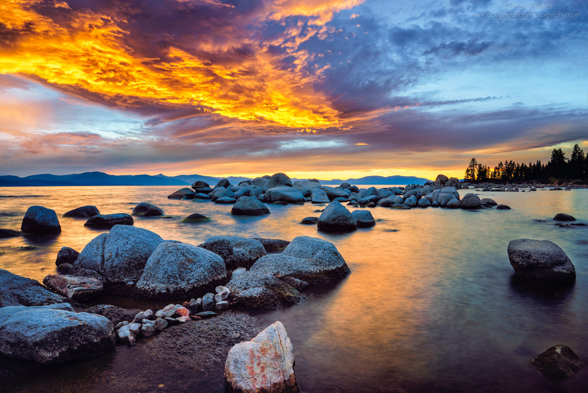
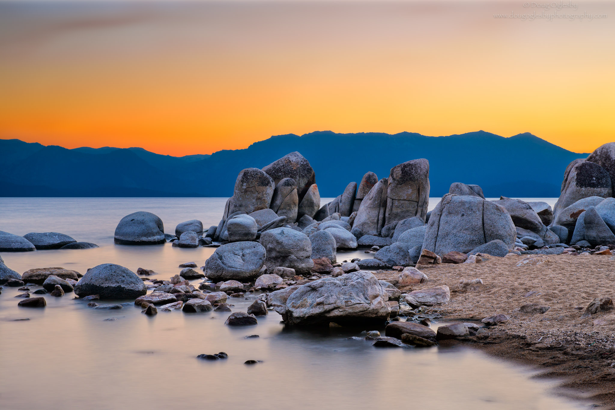
Lake Tahoe is the largest alpine lake and third deepest lake in North America. The surface elevation is at 6225 feet and the deepest measured point of the lake is 1645 feet (the average depth is 1000 feet). The lake straddles the border of California and the Sierra Nevada mountain range on the west and Nevada and the Carson Range on the east. Yes, the Carson range was named after Kit Carson (and so was nearby Carson City in Nevada). The lake was formed through a combination of faulting, volcanic eruptions and glacial erosion. Millions of years ago volcanic eruptions created a natural dam to contain melting snow, rain and runoff. Glacial erosion further shaped the area and left behind large boulders that are prominent along the lake’s shoreline.(8)
Glacial boulders along Zephyr Cove…
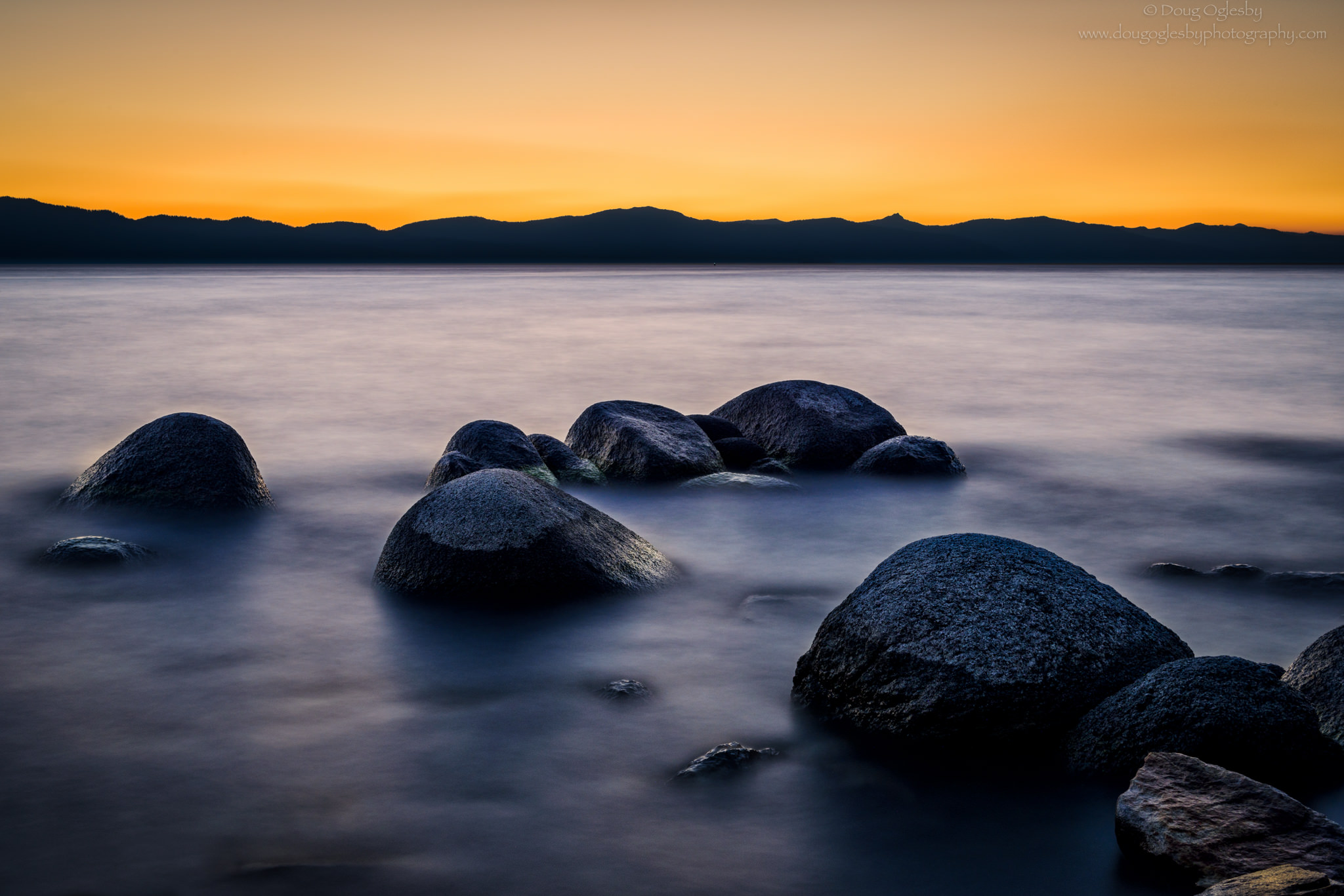
Lake Tahoe is simply stunning. There are a number of beautiful locations that are easily accessible including Emerald Bay, Zephyr Cove, Sand Harbor and many others. Some locations are equally beautiful but not as accessible – such as Bonsai Rock and Fannette Island.
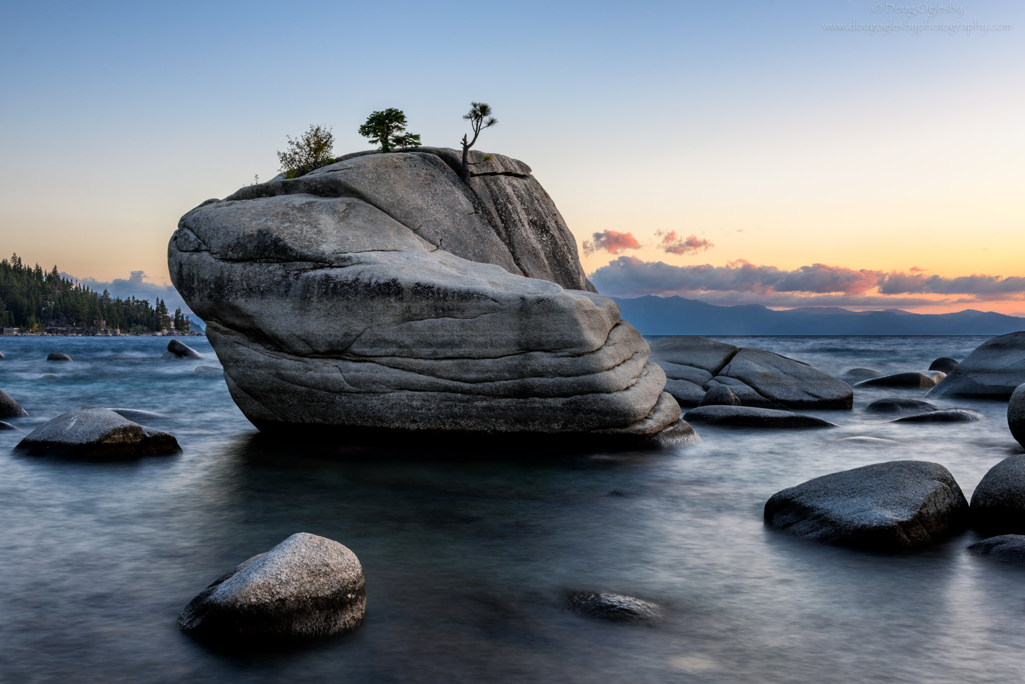
The hike to Bonsai Rock is a short but very steep hike. There is a rough trail leading down but it isn’t particularly well marked and there are several dead ends. As the bird flies it’s probably less than 200 yards from the road to the shoreline. The rock is just a few yards from the shore; its bonsai-like trees growing from the top are prominent and easily identify the rock.
Beautiful Lake Tahoe
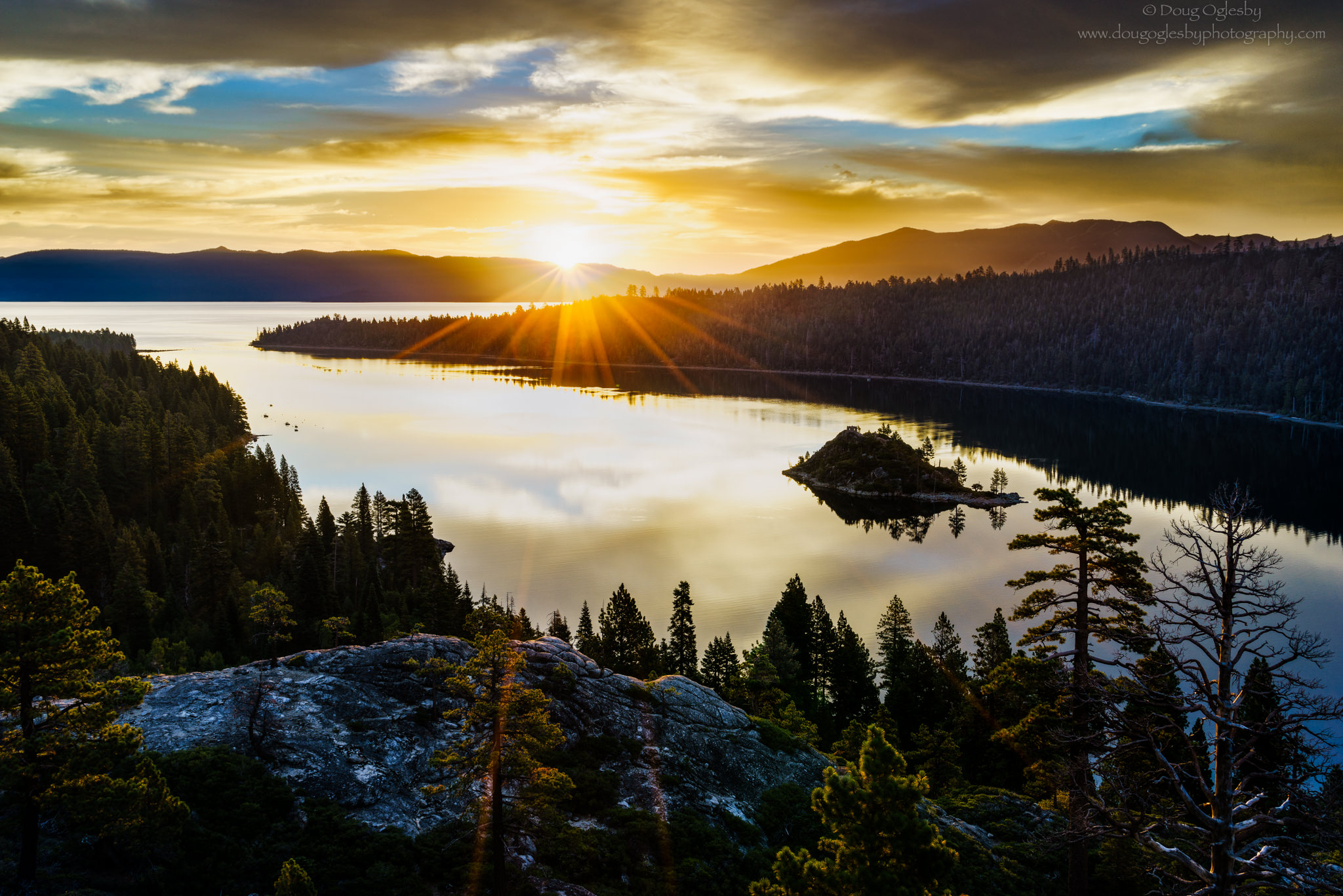
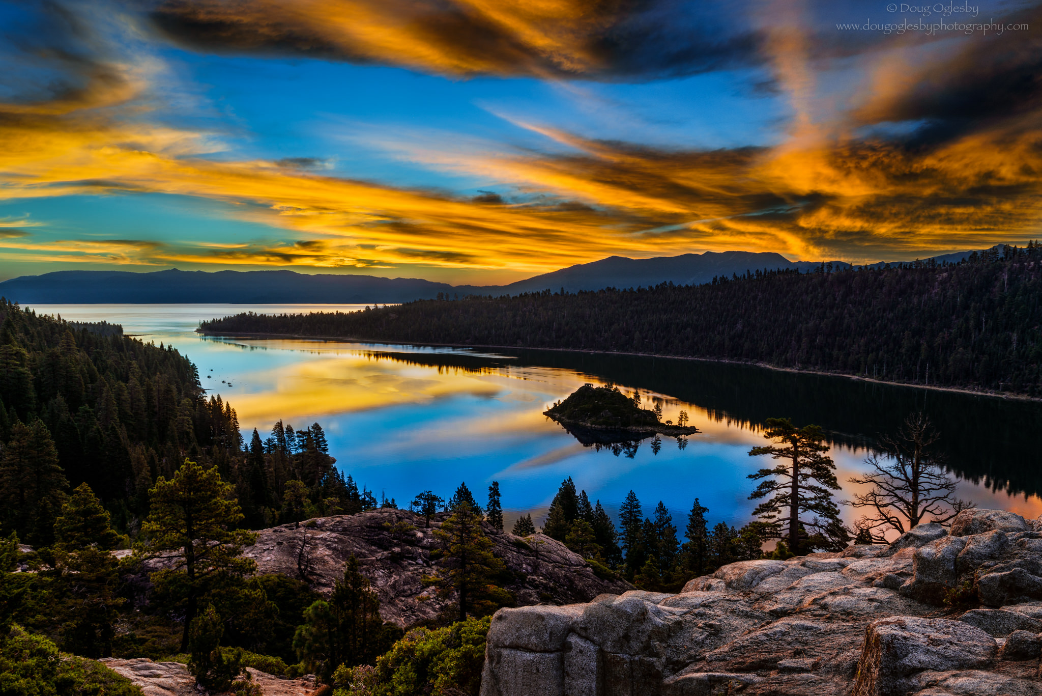
Sunrise over Emerald Bay’s Fannette Island…
Fannette is the only island in Lake Tahoe. It’s the central feature in Emerald Bay. Captain Richard Barter was the caretaker for a large villa built on Emerald Bay’s shoreline in the 1860s. Barter enjoyed his liquor. He would frequently take his boat out to the north shore to Tahoe City to socialize and drink at the local saloons, even during Tahoe’s freezing winter nights. Reportedly, on one such trip he hit a nasty storm that significantly slowed his return. Barter lost a couple of toes to frostbite, which he amputated himself and kept preserved in a box to show off to visitors, earning him the nickname “Them’s My Toes”.(9)
The next time you are in the Beautiful Lake Tahoe area, keep in mind the early explorers and Captain Barter. The area is rich with history. I enjoy an area much better when I have an understanding of the past and what life was like in “the early days.” It makes my visits more meaningful and inspires me to learn more and, of course, photograph my experience.
* * *
(1) Carson, Kit. Kit Carson’s Autobiography. Ed Milo Milton Quaife. (Nebraska: Bison Books, 1966). 79-81.
(2) “Donner Party”, History. WEBSITE
(3) Fischer, David Hackett and James C. Kelly. Bound Away: Virginia and the Westward Movement. (Charlottesville and London: University Press of Virginia, 2000). 225.
(4) Sides, Hampton. Blood and Thunder: The Epic Story of Kit Carson and the Conquest of the American West. (New York: Anchor Books, 2007). Print.
(5) Wa She Shu: The Washoe People Past and Present, Washoe Tribe of Nevada and California, Manataka American Indian Council. 2009
(6) “Where Does The Name Tahoe Come From?” Rubicon Bay. WEBSITE
(7) Twain, Mark. The Works of Mark Twain: Early Tales & Sketches, Vol. 1 1851-1864. Ed Edgar Marquess Branch, et al. (Berkley and Los Angeles, California: University of California Press, 1979). 290.
(8) “Facts About Lake Tahoe”. U.S. Geological Survey. WEBSITE
(9) Earl, Phillip I. “Nevada – Then and Now, Dick Barter: the Hermit of Emerald Bay”, Phillip I. Earl, The Nevada Historical Society. Published in the Pahrump Valley Gazette on March 5th, 1998. County of El Dorado, California. WEBSITE
.
 About the Author & Photographer…
Doug Oglesby is a nature photographer based out of San Diego, California. He’s been taking photographs of our spectacular world for more than 30 years. His work can be seen at Fine Art Nature Photography AT THE EDGE OF LIGHT. www.dougoglesbyphotography.com.
